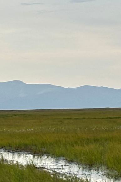
Portland State University is co-developing an interactive tool that combines a scenario-based role-playing board game and an AR Sandbox to support relocation planning in remote Alaska Native communities. These communities face critical infrastructure threats, including rising sea levels, erosion, flooding, and ground subsidence caused by permafrost thaw. Developed in close collaboration with Alaskan stakeholders, the tool is designed to foster dialogues about climate resilience and food sovereignty, support community-based decision-making, and honor Indigenous knowledge and local leadership systems in rural Alaska
Augmented Reality Sandbox
Mapping
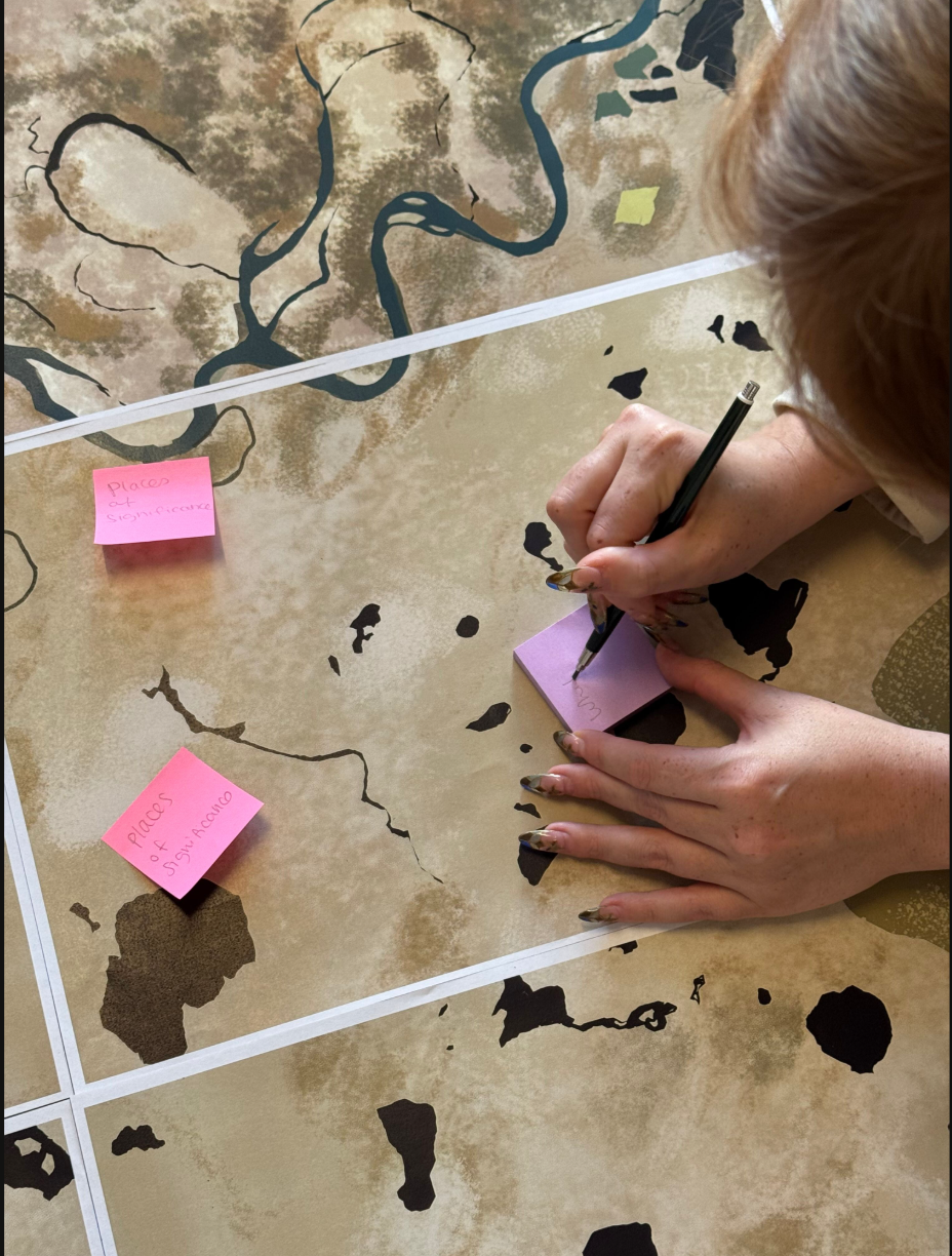
The Asset Mapping activity is an interactive discussion designed to build a collective understanding of place and place-based knowledge in rural Alaskan villages. Using local maps and mapping tools such as post it notes and acrylic boards, participants are invited to identify places of significance, recall meaningful activities and memories, and analyze the connections between them. This activity is part of the AR Sandbox Programming.

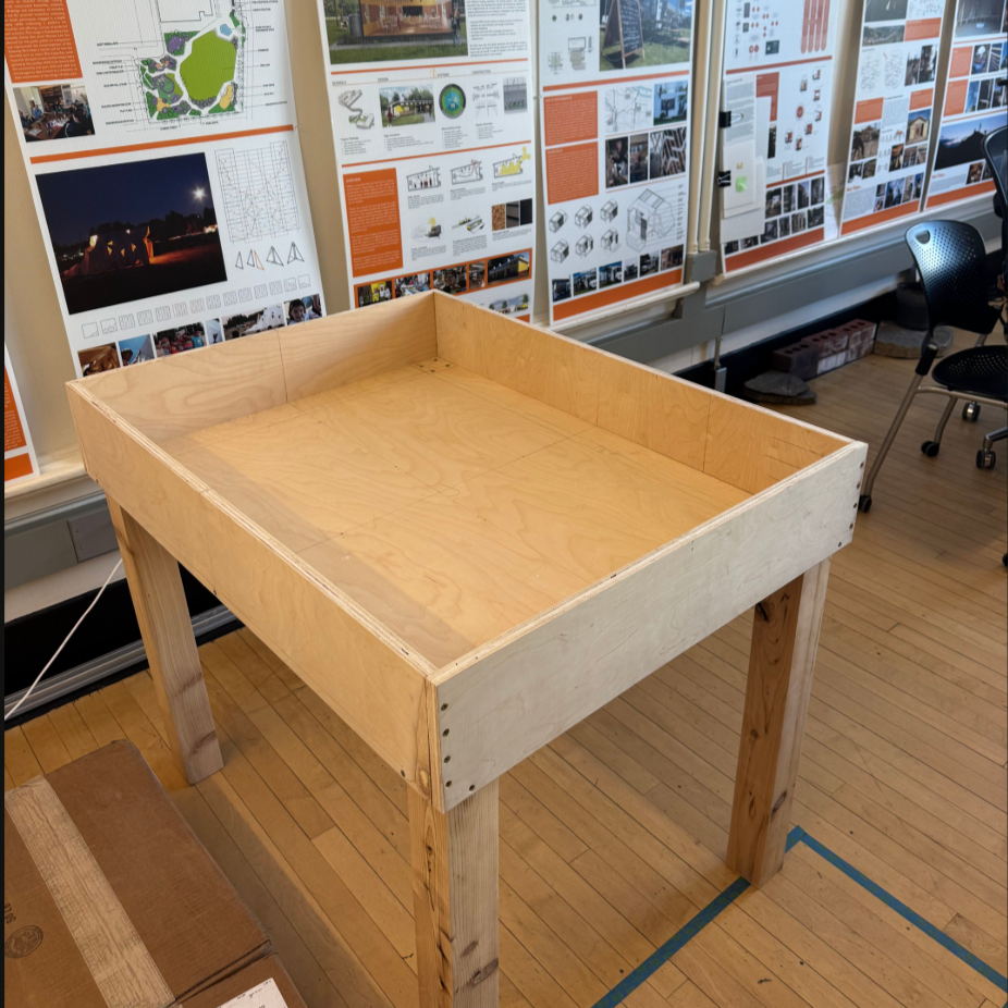
Physical Sandbox
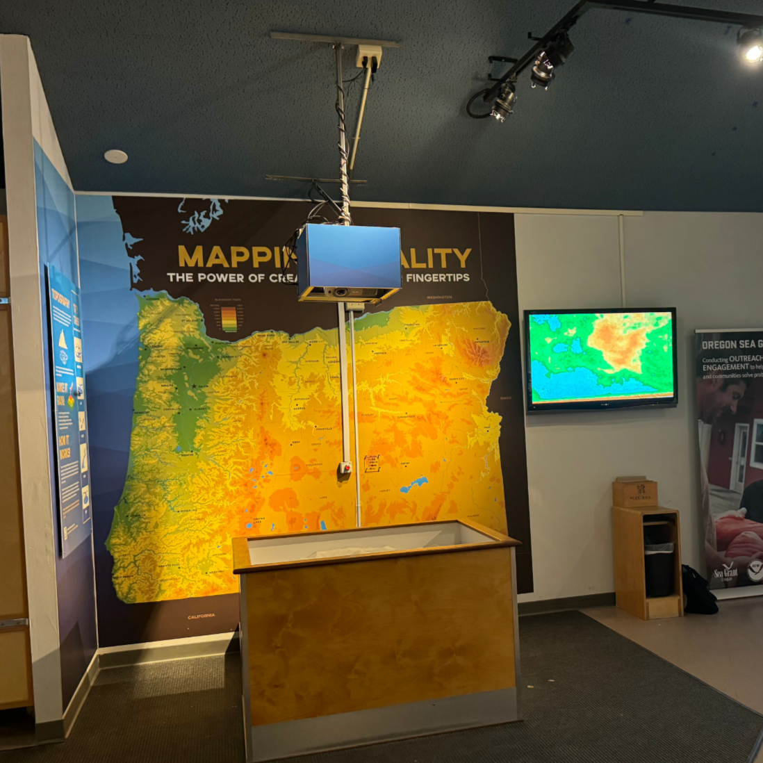
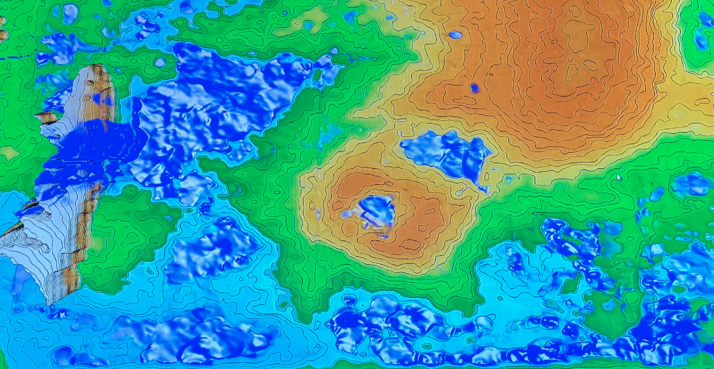
The Augmented Reality (AR) Sandbox is a tool that combines an interactive sandbox with 3D spatial visualization. It is used to illustrate environmental processes such as topography, flooding, erosion, and land subsidence. This tool also supports community-based decision-making and relocation planning.
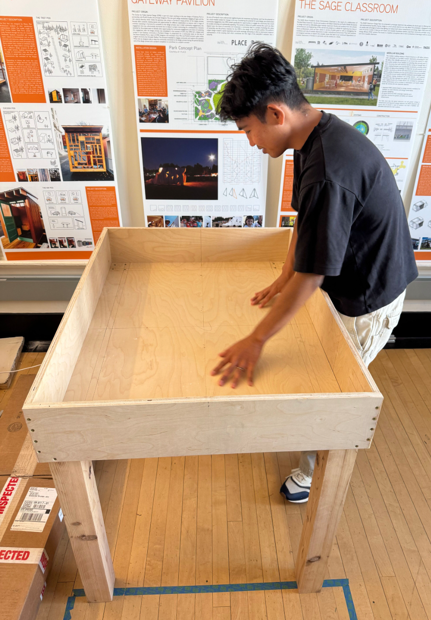
Prototype Exploration
As part of the research and development process, several AR Sandbox prototypes were explored to better understand their specific programming and applications.